Rich Rivers in Zambia
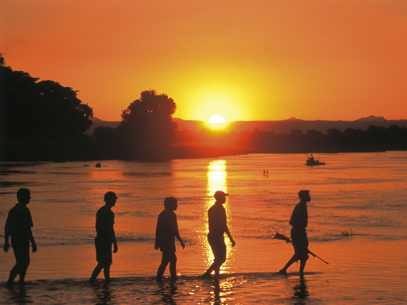
Blessed with three major rivers, several substantial tributaries, and many smaller rivers, as well as vast natural lakes and the enormous Kariba dam, Zambia is one of the most water rich countries in Africa. The source of the Zambezi is in northwest Zambia and runs through the Barotse Floodplains until it forms the border with Zimbabwe. After providing power from Kariba Dam, it is joined by the Kafue River and later the Luangwa before heading out to the Indian Ocean. The Kafue and Luangwa Rivers are the life blood of the Kafue and Luangwa National Parks, teeming with hippos, crocodiles, waterbirds and plains game coming to drink. Many other rivers traverse the country with an abundance of delightful waterfalls.
THE KAFUE RIVER
The Kafue River plays a large role in Zambia’s eco- system. It is a major tributary to the Zambezi River and is the largest and longest river lying entirely within Zambia. Other tributaries include the Lufupa and Lunga rivers in the north, the Musa and the Luansanza in the centre and the Nanzhila in the south. Its course changes between slow flowing reaches to fast swift channels and mighty rapids. The streams which feed the river often have sandy banks which are perfect nesting sites for bee-eaters while the sandy shores are often occupied by hippos, crocodiles, otters and water monitors. Both the Musa River and the Kafue River flow into Lake Itezhi- Tezhi in an area that covers 370 square kilometres of serene water. The area is great for wildlife enthusiasts, fisherman and boating- fans.
THE LUANGWA RIVER
The Luangwa Valley is one of Africa’s prime wildlife sanctuaries, with concentrations and varieties of game and birdlife that have made it world famous. This is the landscape of the ‘Real Africa’, with herds of antelope sheltering under thorn trees, or roaming the plains, predators skulking in the shadows and primordial drama in every vale.
The ‘Valley’ lies at the tail end of the Great Rift Valley, that continental fault which runs from the Red Sea down the length of East Africa. This accounts for the spectacular escarpment scenery in East Africa as well as the African Lakes.
As the Rift reaches Zambia, it divides; one arm to the east encompasses Lake Malawi and the western arm becomes the Luangwa Valley, which stretches some seven hundred kilometres at an average width of about one hundred kilometres.
In the west, the Muchinga Mountain range forms the limit of both the Valley and the parks. In the east is a similar, though less well defined escarpment. The Valley floor is about a thousand meters lower than the surrounding plateau.
Down the centre of the valley flows the Luangwa River, fed by dozens of sand rivers that come down during the rainy season. The Luangwa carves a tortuous course along the floor and when in flood rapidly erodes the outer bends, depositing silt within the loops. Eventually the river cuts a new course, leaving the old course to silt up, forming ‘ox bow’ lagoons. These lagoons are very important to the ecology of the riverine zone and account for the high carrying capacity of the area.
The countryside is spectacular in its rugged beauty, the vegetation thick and, near the Luangwa River and its many tributaries, a lush riverine forest occurs that is green all year round. Flanking the rivers western banks are the North and South Luangwa National Parks separated by the 30km Munyamadzi corridor. To the east, between the two main parks is another small and as yet undeveloped Park called Luambe. Further east on the rocky uplands beyond the flood plain is the Lukusuzi National Park, also undeveloped but plans are in the pipeline.
THE ZAMBEZI RIVER
The Zambezi is the fourth-longest river in Africa, the longest east-flowing river in Africa and the largest flowing into the Indian Ocean from Africa.
For about 500 kilometres it serves as the border between Zambia and Zimbabwe thundering over the Victoria Falls and through the narrow, steadily deepening Batoka Gorge, providing a fantastic playground for white-water rafting, kayaking, river boarding and jet boating.
Its unique value is that it is less developed than other rivers regarding human settlement and many areas along its banks have even been granted protected status. The Lower Zambezi National Park flanks the river on the Zambian side and Mana Pools National Park on the Zimbabwean side. This whole area of the Zambezi supports one of Africa’s most important wilderness areas as it provides sustenance to a diverse array of game, birdlife and fish species.
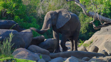
Hippo, Nile crocodiles and monitor lizards, are commonly found along many of the calm stretches of the river. Species of bird, like heron, pelican, egret and African fish eagle are found in large numbers here. The riverine woodlands then support many large animals, such as buffalo, zebra, giraffe, elephant.
The Zambezi also supports several hundred species of fish, some of which are endemic to the river. Important species include cichlids which are fished heavily for food, as well as catfish, tigerfish, yellowfish and other large species. The bull shark is sometimes known as the Zambezi shark after the river but is found around the world.
After having provided power, food and transport for many people, and a home for untold numbers of wildlife ¬– the river ends its journey through Mozambique and out towards the Indian Ocean.
The Zambezi’s most noted feature is Victoria Falls, but there is also so much more. Other notable falls include the Chavuma Falls at the border between Zambia and Angola, and Ngonye Falls, near Sioma in Western Zambia. There are two primary sources of hydroelectric power on the river, the Kariba Dam, which provides power to Zambia and Zimbabwe, and the Cahora Bassa Dam in Mozambique, which provides power to Mozambique and South Africa. There is also a smaller power station at Victoria Falls.


