Seyitjemaletdin Mosque
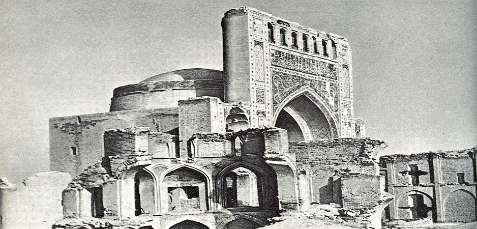
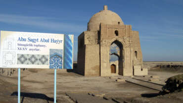
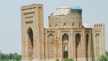
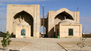
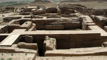
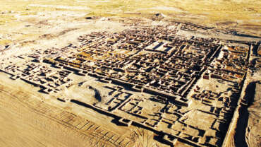
A mosque in Anau that was erected, according to the interior and exterior inscriptions, in 1456, when Abu-l-Kasim Baber Bahadurkhan ruled in Khorasan (1446-1457). Construction of the mosque was financed by Bahadurkhan’s vizier, Muhammed Hudaidot, who also selected a site of construction–near the grave of his father, sheikh Jemaleddin, a native of Anau. Before that, sheikh Jemaleddin had never been mentioned in the fifteenth-century Sufi sources. But, having examined the inscriptions on the face of the mosque, academician G.A. Pugachenkova proposed that thanks to the polysemantic character of the language the author of the lines managed to immortalize his father. He took the first part of his father’s name–“Jemal” (i.e. beauty)–and used it in the word combination “Dor-ul-Jamal,” which has two meanings: “the house of beauty” and “the abode of Jemal.”
Conceived as a large religious complex, this mosque comprised ziaratkhna (a room for funeral prayers), khanaka (a winter room of the mosque) and several khujras (cells in the madrasah, caravanserai and khanaka). The peculiarity of the building’s composition–asymmetrical left and right wings; vaulted domes, different from one another; spatial lightness of the interior–might be accounted for by its positioning on the descending land surface, next to the former fortress. The square central hall (with the sides of 10.5 meters) was crowned with a dome. In the corners of the mosque there were spiral stairs, heading to the second- and third-level bypass galleries. From the north, the hall had a large vaulted arch, which was embellished with a high and beautiful portal, refined with decoratively cut and polished brick, glazed dark- and light-blue tiles, and panels with the Arabian epigraphy on them. Below the arch there was a mosaic picture of two coiling dragons, heraldically facing each other, and apple tree flowers on the background–ancient local composition and scene. In later periods, the Seyit-Jemaleddin mosque was partially reconstructed. By the nineteenth century, the subsidence of land had already damaged the building heavily, and during the 1948 Ashgabat earthquake it was destroyed completely. Now, only lower parts of the portal and some fragments of the walls are extant.
Awaza
The port city Turkmenbashi is the only one large port in whole Central Asia, providing a link with European countries. Surrounded on the east by the crescent of low mountains, in the west it looks in the turquoise-blue waters ofthe Caspian Sea. The surrounding desert landscape looks more like a moon landscape. Most excursions into the mountains and the coastal resort towns begin from this dusty, and even somewhat sleepy town.
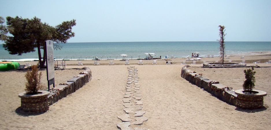
The coast of the Caspian Sea is famous for its wonderful sandy beaches, clean, crystal water, abundance of sea flora and fauna, which allows to enjoy water kinds of sport. City of Khazar and the suburb of Turkmenbashi – Awaza, the health resort, in the sanatoriums and preventoriums prophylactic events of different kinds of pneumonia, are more popular among the vacationers. There is also a number of coastal tourism recreation centers. The beautiful subtropical zone of the country – Sumbar valley with green trees and the famous oak-old in the village Garrygala is located in Balkan province.
Awaza – a resort in the east of the Caspian Sea, the national tourist zone ofTurkmenistan, at 12 kilometers from Turkmenbashi city.
“Awaza” – heavenly sea corner which stretches for 16 kilometers. 6 hotels of world class and health complexes have been built for today. It is planning to open 60 hotels of different categories.
Awaza is becoming a sea resort zone. Beautiful hotels are functioning on the territory of Awaza, standards-based pensions, health complexes, child health centers, sport centers, health spas, children’s health centers, sports, cultural and entertaining centers.
7 kilometers canal was excavated on the territory of Awaza, and cozy restaurants and cafes are situated on both sides of the canal.
DINOSAURS Plateau
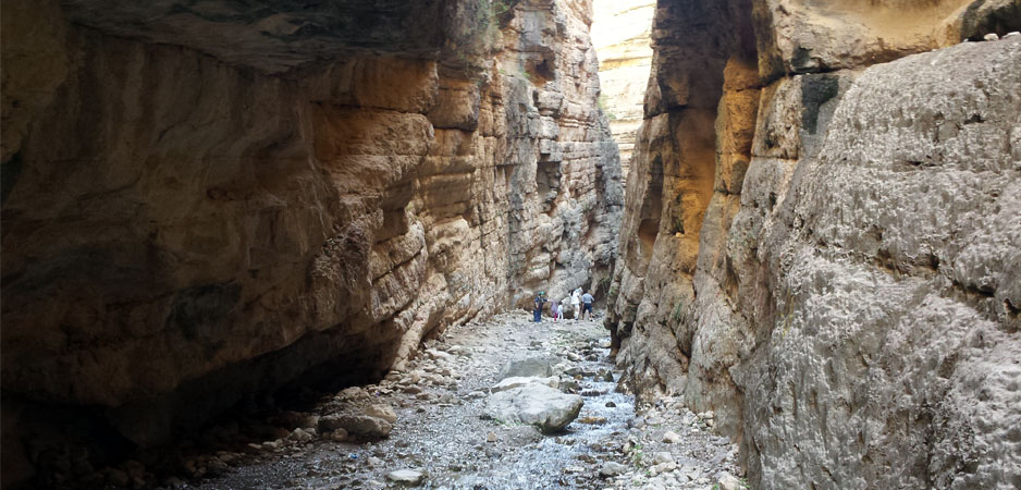
The plateaus of dinosaurs is one of the important sights of Koytendag where remained the footsteps of huge fossil pangolins. The plateau of dinosaurs settles down on a northwest slope of a mountain ridge, near the Hojapil settlement. The impressive sizes of the accurate footsteps of the three-fingered legs of the ancient animals settle down in some numbers. They belonged to several individuals of the various age. As results of the spent researches scientists have come to conclusion that the footsteps are left by the herbivorous animal and some predatory dinosaurs living here approximately 140-150 million years ago. According to the footsteps the sizes of the foot of a prehistoric pangolin made 70×65 cm, the width of a step reached 1,5-2,2 meters.
The huge animals went leaning against hind legs. The forepaws were essentially more shortly and weren’t used while walking that allowed the scientists to make the conclusion that growth of fossil dinosaurs reached 6-8 meters at length of a body of 5-10 meters and weight of a body of 5-10 tons. Among the variety of the hardened footsteps the attention of the researchers was paid to the footsteps of the small sizes which length does not exceed 45 cm.
The numerous footsteps of dinosaurs remained on a plateau surface were the source for the origin of numerous legends. One of them says: these footsteps have been left by a mythical racer of sacred prophet Ali. The hoofs of a racer have been put in the special form of three-fingered configuration. According to another legend these footsteps belong to Alexander the Great’s fighting elephants. The rumour says: during the victorious campaign to India the lord of the world crossed a high-mountainous plateau on the surface of which the footsteps of impressive sizes of terrible fighting elephants were printed. The stay of Alexander the Great in these land confirms one more interesting fact, the extensive lowland in the desert Kyzyl Kum territory, stretched from the foothills of Koytendag ridge, carries the name “Iskenderin berki” (“Alexander’s Fortress”). Nowadays with all-round assistance and active support of Esteemed President of Turkmenistan Gurbanguly Berdimuhamedov the purposeful measures are carried out on inclusion of the given unique nature monument into the world heritage list of UNESCO.
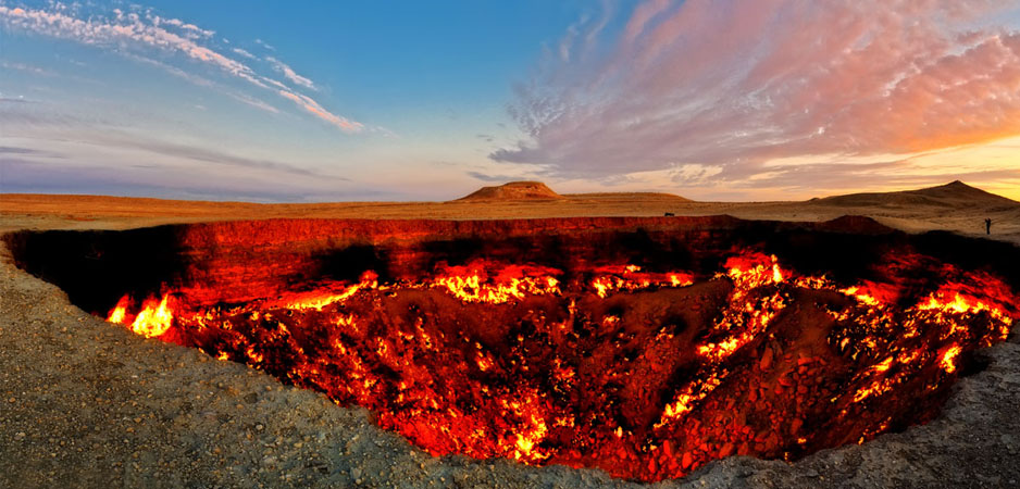
Gas Crater
The gas crater is located near the Derweze village. It is in the middle of the Karakum Desert, about 260 kilometres north of Ashgabat, the capital of Turkmenistan. The gas reserve found here is one of the largest in the world. Since 1971, the natural gas coming from the crater, continuously light day and night.
Not far from the burning crater are two more similar the failure of a similar origin. These craters are off, the gas pressure is much weaker. At the bottom of one of the craters – bubbling liquid mud light gray on the bottom of another – turquoise liquid.
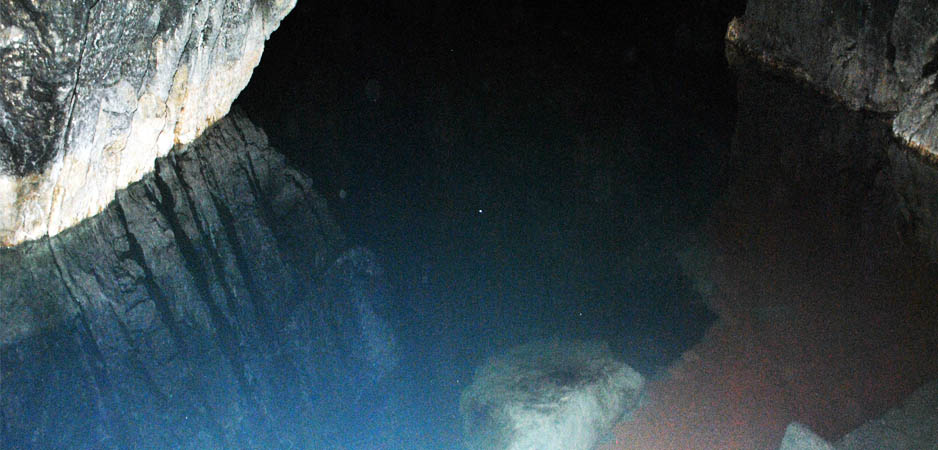
Kowata Cave and Underground Lake
This cave is situated 100 kilometers far from Ashgabat. There is a lake, which breathe warm stream, in the depth of 60 meters from entrance into the cave. Long steps with 350 stairs lead to it.
Medicinal water of the lake contains sulphur, iodine, magnesium, potassium, sodium, sulphate, aluminium, bromine, iron, stibium – in total 38 elements. Swimming in the water has favorable influence on organism, improves blood circulation, and helps to cure such diseases as rheumatism, cold, renal and skin diseases, soothe the nervous system. Temperature of water in the lake is from 33 up to 38 degrees all the year round. Length of the lake is 80 meters, width – 30 meters, depth – up to 16 meters. It is one of the largest underground lakes in the world. Sunrays never touched warm velvet of its waters.
Bidding defiance to the time, the underground lake creates in tourists the feeling of displacement to another world owing to bewitching sounds of water and mysterious twilight in the cave.
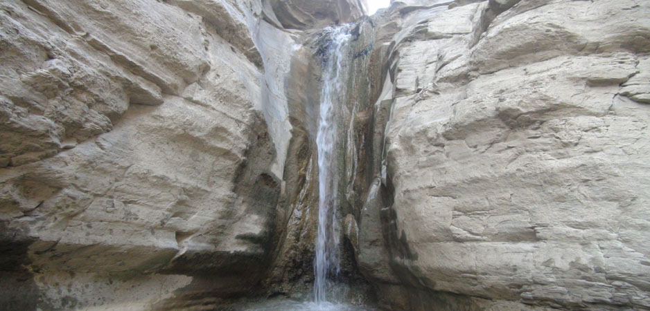
Garrygala
Garrygala – this is truly a gem of Turkmenistan – a garden of flowers, fruit, fantastic nature of the subtropics. Sumbar valley is famous for not only the climate of grace and “lunar” landscape of the surrounding mountains, but also the hospitality of its inhabitants.
The modern village has an ancient history. There are a lot of monuments of history, culture and nature. Sumbar valley called natural monument – an oak-old resident of 1888, his height – 20 meters, trunk diameter – 4,5 meters.
In Gara Gala etrap situated Syunt-Hasardag biosphere Reserve, Parkhai place with hydrogen sulfide hot spring water has healing properties. For therapeutic baths are equipped with the cab, opened swimming pool.
At 24 km from the district centers stretched Gerkez village – the birthplace of the great classic of the Turkmen literature, Makhtumkuli. There is a museum of Makhtumkuli.
A unique natural monument is Aidere Gorge, located 50 km from the district centers of Gara Gala etrap , its length is 30 km, the occupied area – 20 hectares. Here there are 800 species of plants and trees.


